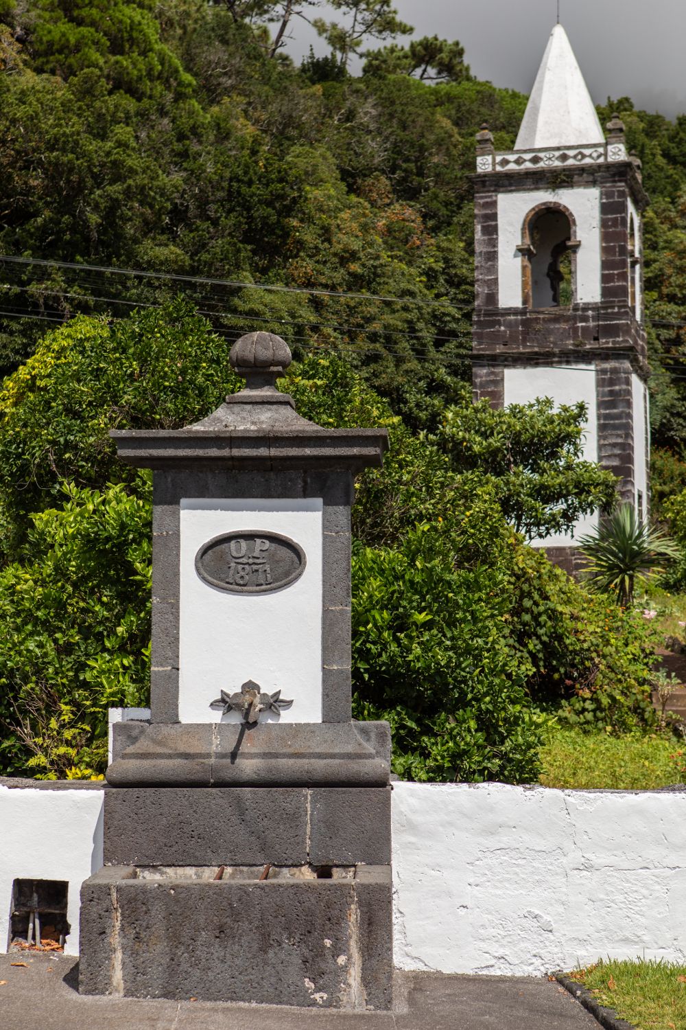
Mistério da Urzelina - CHURCH TOWER
Just like in other islands of the Azores’ Central Group, the “mistério” designation is applied to a lava field, with rocky and infertile land, formed by a volcanic eruption witnessed by the population, that is, a historical eruption. In this case, it refers to the aa-type lava flows of Mistério da Urzelina, originated due to the eruption of 1808. These lavas were issued by Bocas de Fogo (or Caldeirinhas), a set of craters located in the island’s central volcanic mountain range and moved south through the slopes, reaching the sea in this area of Urzelina. The eruption of 1808 began in May and was preceded by several earthquakes felt by the population. The explosive activity was responsible for the abundant downfall of ashes over Urzelina and Manadas and the basaltic lava flows destroyed several houses and the church, of which only remains a bell tower, standing tall as the silent witness of that eruption. This geosite of the Azores Geopark has national relevance and scientific, pedagogical, cultural and geo-touristic interest.